
Thematic Trail
Köhlerrunde - Welschneudorf
Route profile
Notice
In the tour planner we inform you under the tab "Current info" about temporary route changes, closures and detours.
To the Tour Planer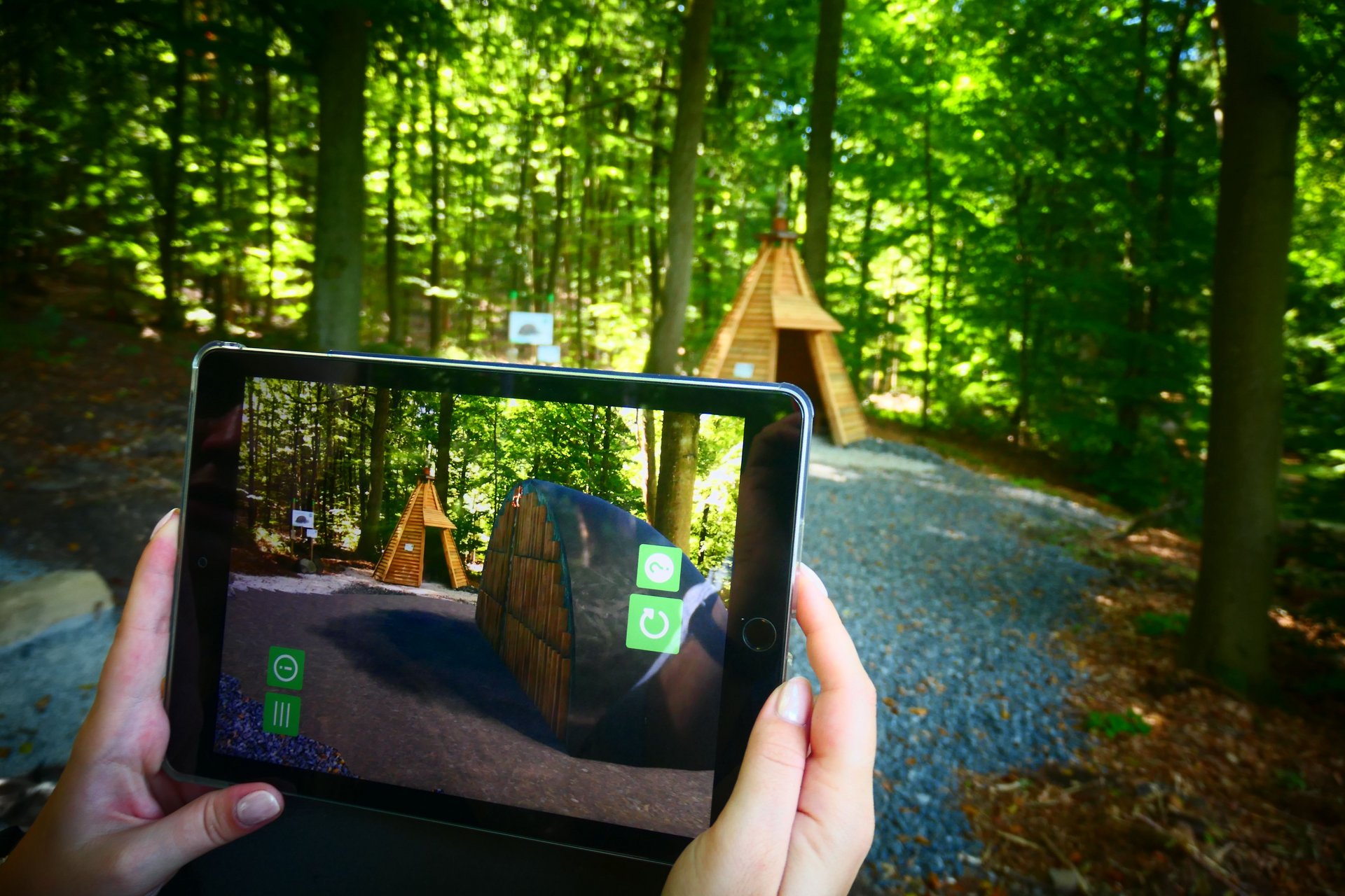
Description
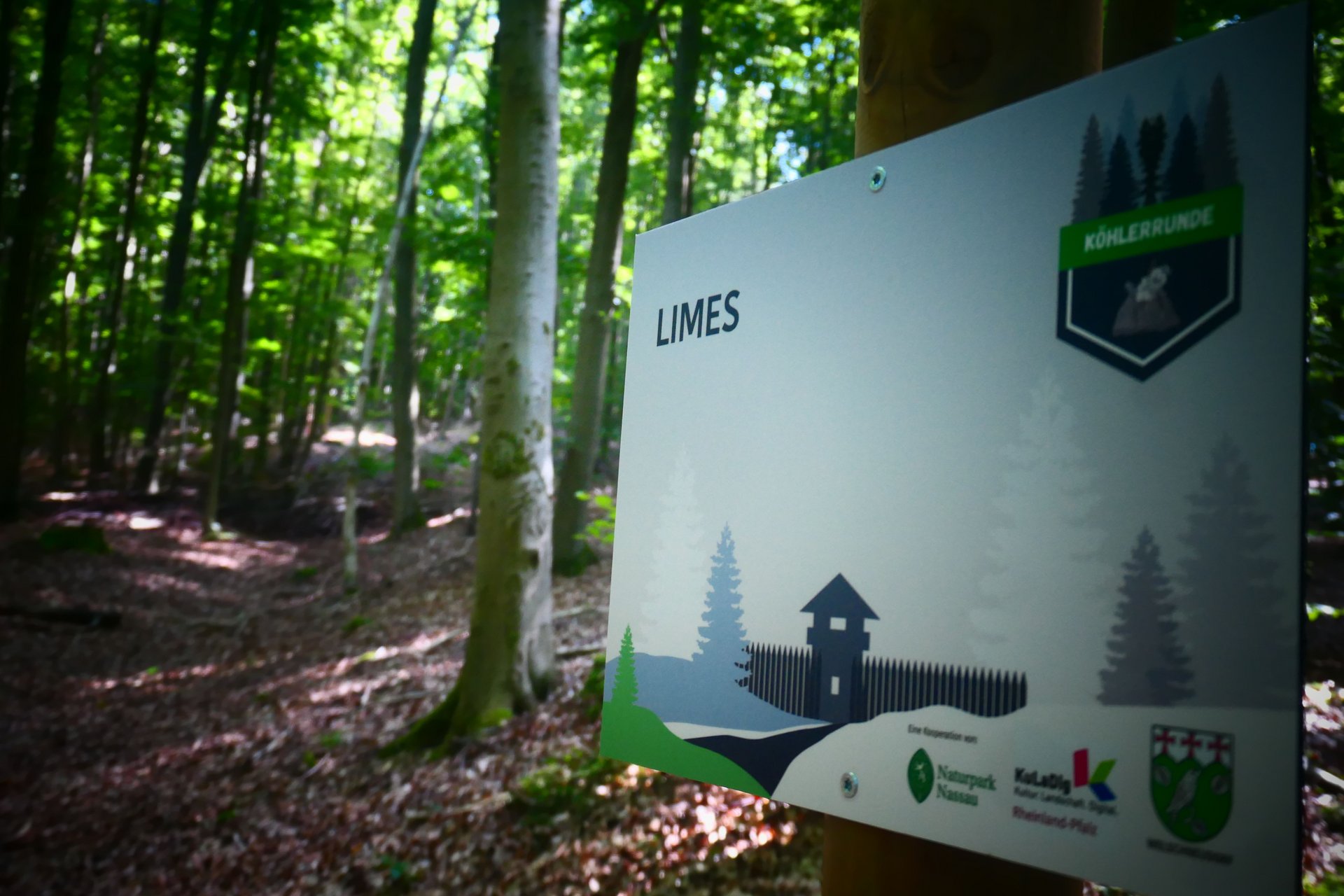
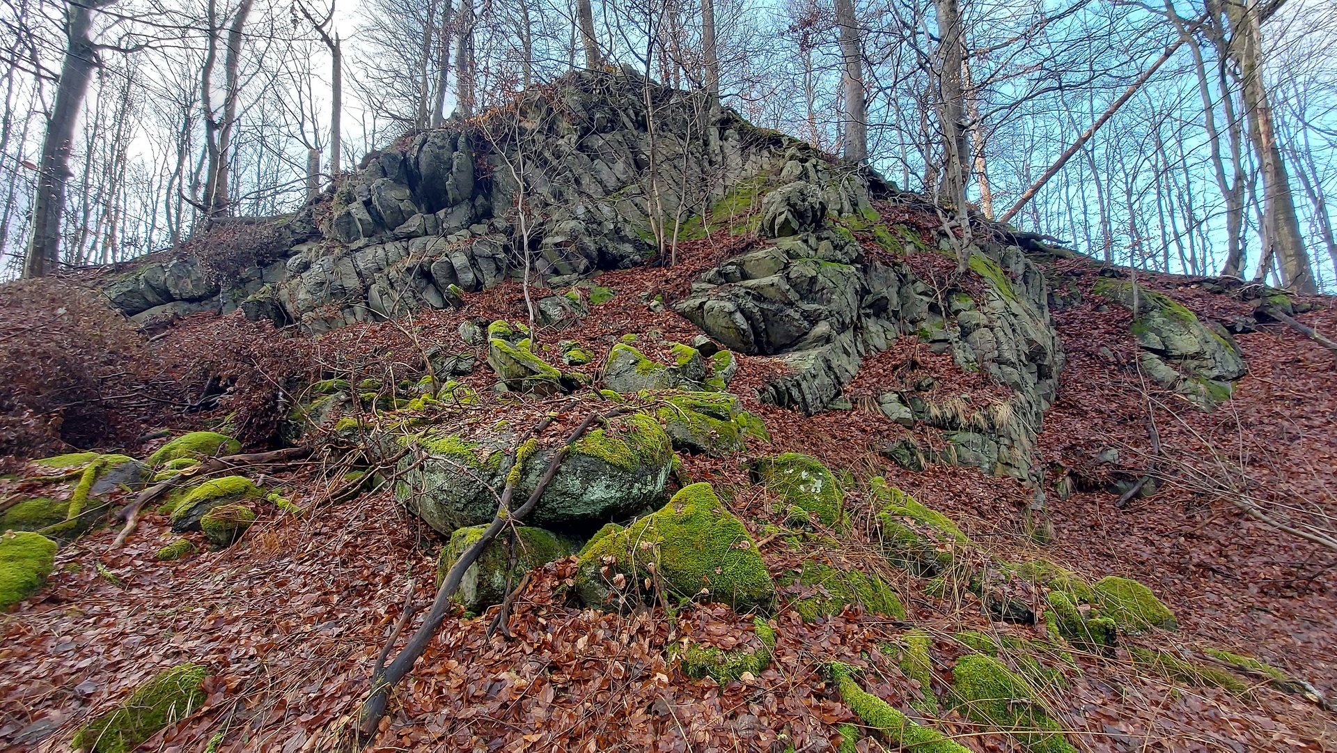
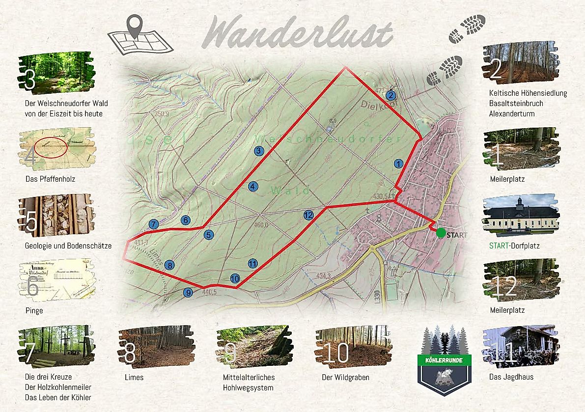
Dive into a fascinating time travel through the centuries. The Köhlerrunde, starting at the village square of Welschneudorf, invites you to experience the traces of past times up close – whether you are alone, with family, or friends. Discover impressive archaeological monuments, ancient charcoal burning relics, a Celtic hill settlement, the historic Limes, and many other exciting stations. The Köhlerrunde combines nature experience with history and knowledge, lively, interactive, and suitable for all ages.
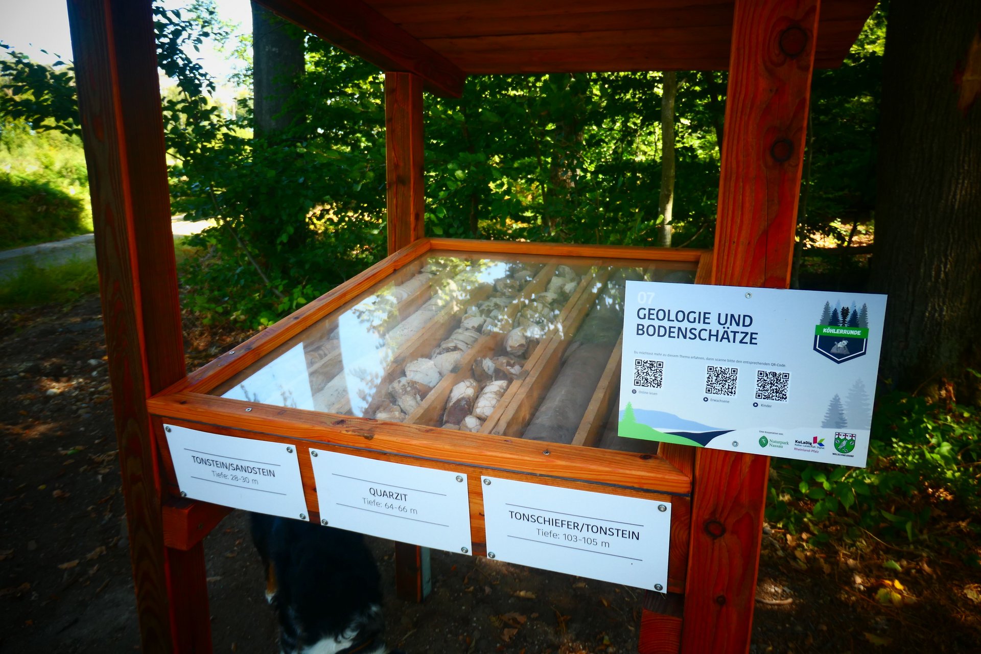
At each marked station you will find QR codes with exciting background info. An audio guide provides age-appropriate explanations – for adults and children – turning history into a listening experience. With modern technology, you can even admire a 3D replica of the Celtic ringfort on the large Dielkopf and a cross-section of a historic charcoal kiln via an app. Hike, marvel, understand – the Köhlerrunde awaits you. A trip that moves heart and mind.
Approach
From Montabaur via the L327 to Welschneudorf
From Bad Ems via the L327 to Welschneudorf
From Nassau via the L330 to Welschneudorf
Public transport
By train to the ICE station Montabaur and then continue by bus line 456 to Welschneudorf; exit at Welschneudorf Rathaus. Start of the Köhlerrunde at the
village square in Welschneudorf
By train to the main station Bad Ems and then continue by bus line 456 to
Welschneudorf; exit at Welschneudorf Rathaus. Start of the Köhlerrunde at the
village square in Welschneudorf
By train to Nassau station and then continue by bus line 456 to
Welschneudorf; exit at Welschneudorf Rathaus. Start of the Köhlerrunde at the
village square in Welschneudorf
Return journey from Welschneudorf also with bus line 456
Parking
Free of charge at the village square in Welschneudorf
Directions
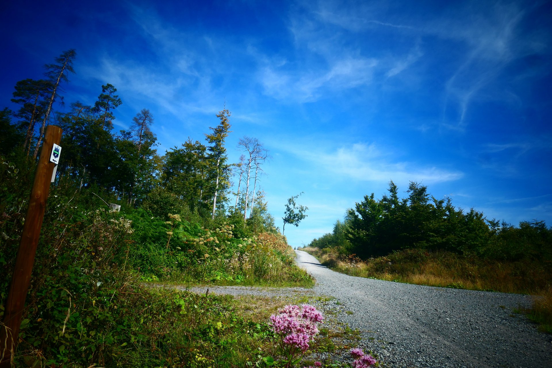
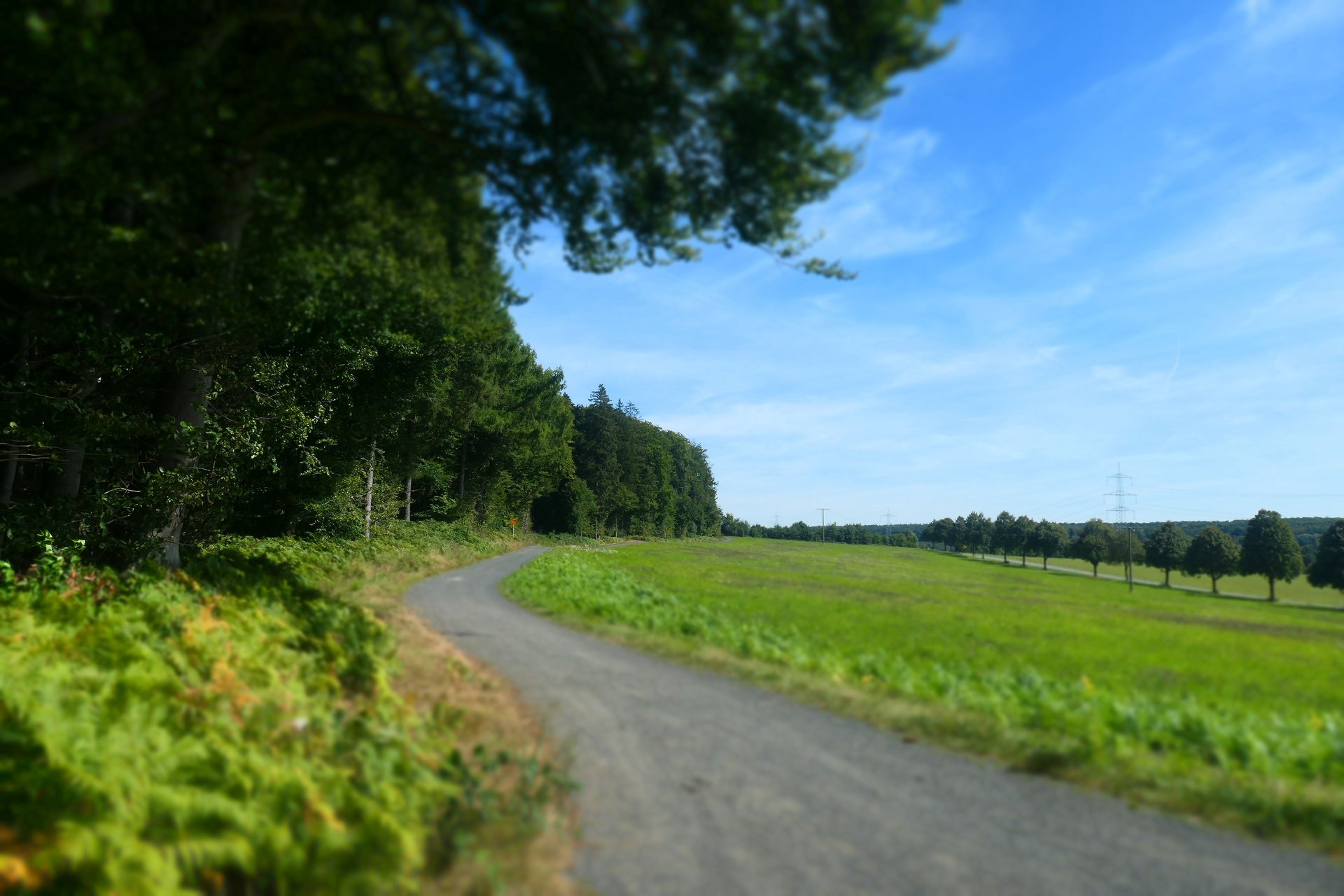
About 6 km, the Köhlerrunde leads you to historical sites and archaeological monuments. At the starting point on the village square, you will find parking facilities and all information about the route. Here you can download the free ARGO app via QR code to admire impressive 3-D visualizations at selected locations. Afterwards, you can stock up on provisions in the village shops. The path takes you into the Welschneudorf forest. There you will be guided to various stations and receive exciting information via QR code. The route leads you past old charcoal kiln sites, where you can admire the remains of a former Celtic hill settlement; a short stretch leads through the former Roman Empire, past a medieval trade route and the Kurtrier Wildgraben. Along the way, you receive detailed information about our forest, geology, and the mineral resources of our region. Numerous rest areas invite you to linger. On the way back to the village, you can take a break at the wonderful forest playground or stop again in the village.
Safety instructions
- In the winter months, the quality of some path sections may be affected due to timber extraction work.
- Wear sturdy footwear and weather-appropriate, functional clothing that protects you from cold and wet or heat and sun.
- Bring enough fluids with you.
- Please wear appropriate hiking boots on the trail that provide sufficient support even on slippery, steep, rocky, or uneven paths.
- If you find certain sections of the trail impassable, you should bypass them. Especially under adverse weather conditions, natural paths can have muddy and slippery sections.
- In particular in autumn, be aware that fallen leaves on the ground can cover unevenness, roots, stones, or holes in the path.
You should expect such path impairments when hiking.
- Although the path is very well marked throughout, for safety reasons you should always carry the info flyer with you.
Tips
A worthwhile hiking destination is the premium hiking trail Wäller-Tour Elberthöhen or the Lahn-Westerwald round. Both routes can be started from the village square in Welschneudorf. Hiking boards and information are available there. You can also reach the Wäller Tour Augst and the themed path Wäller Schnippel in Arzbach via a connecting path.
Additional information
Refreshment and supply options:
Country guesthouse Waldesruh
Guesthouse Zum Hannes
Nink's Bakery Cafe
Grocery store … near and good
Metzgeria 24/7 Butcher Lehmler
Information about this and other trails around Welschneudorf is available at the
Tourist Information Montabaur
Großer Markt 12
56410 Montabaur
02602 / 9502780
tourismus@montabaur.de
www.suedlicher-westerwald.de
Literature
A free flyer is available at the information point at the start of the circular hiking trail and at the Montabaur Tourist Information, Großer Markt 12, 56410 Montabaur
Destination
Parking lot at the village square (Lindenweg) in 56412 Welschneudorf
Starting Point
Parking lot at the village square (Lindenweg) in 56412 Welschneudorf
More information & GPX download
Notice
In the tour planner we inform you under the tab "Current info" about temporary route changes, closures and detours.
To the Tour Planer